mod
Oberoesterreich Zentralraum und westliches Mostviertel Niederösterreich (Alpenvorland)
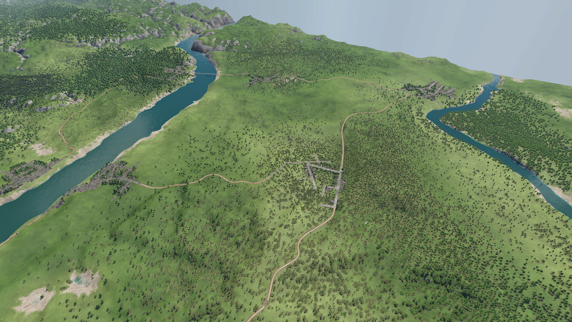
Eine einigermaßen geografisch Karte der Region Zentralraum Oberösterreich bis westliches Mostviertel in Niederösterreich (Amstetten). Die Flüsse sind einigermaßen korrekt, auch die Position der Städte. Die Donau und Traun sind beschiffbar. Es gibt keine Industrien.
- Latest version
- no release indexed
- Downloads
- 203
- Rating
- 4
- Updated
- 6 y ago
- Available on
- Steam Workshop
Download
Delivered through the Steam client, not a file this page can link to.
Frequently asked
How do I install Oberoesterreich Zentralraum und westliches Mostviertel Niederösterreich (Alpenvorland)?
Install the matching loader first, then put the downloaded file in your mods folder and start the game. The loader, the mod and Transport Fever 2 all have to be on the same version, which is the usual reason a mod does not appear in game.
Where do I download Oberoesterreich Zentralraum und westliches Mostviertel Niederösterreich (Alpenvorland) safely?
From the author's own page on Steam Workshop, which is where the data here is synced from. IndexGG never mirrors, re-hosts or repackages a file: every download button points at the original source, so you get exactly what the author published.
Which Transport Fever 2 versions does Oberoesterreich Zentralraum und westliches Mostviertel Niederösterreich (Alpenvorland) work on?
The author has not declared a supported version in the metadata we sync, so there is nothing here we can state as fact. Check the project's own page before installing it, and treat an old mod with no declared version as untested on modern Transport Fever 2.